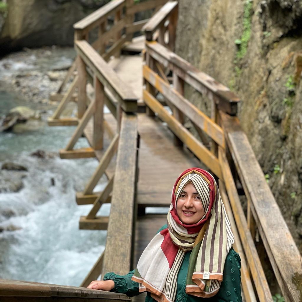
Hira Zafar
Geoinformatics Engineer
Vannes, France
hiraa.arooj96@gmail.com
1224435534
Skills
ArcGIS, QGIS
SQL(MySql, SQLite,PostgreSQL, SQL Server)
Tableau/Microsoft Power BI
Python/Machine Learning
Google Earth Engine(GEE), Google Earth Pro
Web-based client-side tools libraries OpenLayers Leaflet GeoServer
Languages
English
Work Experience
Intern / Terranea,Munich
April 2021 - July 2021
- Contributed to developing new Corine plus landcover dataset
- QGIS customized actions using Python to automate workflows
- Urban Heat vulnerability index and Drought index mapping
- Land Use Land Cover Mapping
Key AchievementPredicting tree species from NDVI profiles using Machine Learning classification algorithms
University research assistant / GEOHUM Christian Doppler Laboratory
Dec 2020 - March 2021
Team lead for designing Multi-Feature Sample Database for Enhancing Deep Learning Tasks in Operational Humanitarian Applications.
GIS Analyst / TPL Maps, Islamabad, Pakistan
Jan 2019 - Mar 2020
- Automate the data QA/QC workflow and make the process efficient by automatic identification and rectification of attribute,geometric and topological errors
- Translate business propositions into quantitative queries and collect/clean the necessary data.
- Build scalable spatial databases capable of ETL processes using PostgreSQL
- Web services and API's to harvest data from a variety of open sources
Key Achievment:Python script for automated translation and spell correction of feature attributes
GIS Analyst / Associates in Development, Islamabad, Pakistan
Jan 2019 - Mar 2020
Developed the workflow for surveying and mapping of water supply,sewerage and drainage utility network for the city of Mardan, Pakistan
Key Achievment:Web-GIS dashboard fo visualization of the utility networks using Leaflet & MapServer.
Education
University of Salzburg-University of South Brittany
2020 - 2022
Copernicus Master in Digital Earth
Majors: Geodata Science, Artificial Intelligence
National University of Sciences and Technology, Pakistan
2010 - 2013
Bachelor of Geoinformatics Engineering
Majors: GIS, Remote Sensing, Web Development
EO4GEO Intelligent Earth Observation Summer School, Genova,Italy
June 2021-July 2021
analysis-ready data, data assimilation, machine learning, hybrid AI, data quality and reproducibility
Spring school: Data Science Methods within Geoinformatics, Salzburg, Austria
April 2021
Concepts covered include Natural Language Processing,Optimizing Spatial Databases, and Sequential Modelling using Recurrent Neural Networks, LSTMs